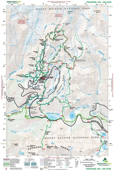
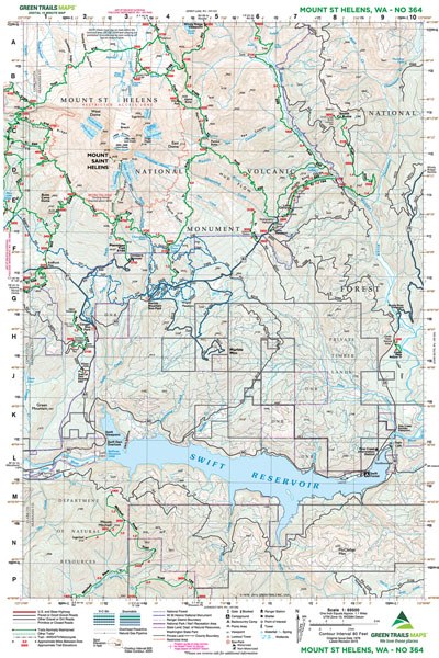
Mt St Helens Climbing - 364S Map
Essential navigation for the crater rim and beyond.
Green Trails Map 364S is a specialized tool designed specifically for summiting and circumnavigating Mount St. Helens. With a highly detailed 1:34,750 scale, it offers precise topography for navigating the climbing routes to the crater rim as well as the complete 29-mile Loowit Trail. Whether you are skinning up from Marble Mountain Sno-Park in winter or scrambling the Ptarmigan Trail in summer, this map provides critical data on water sources, campsites, and route realignments in this shifting volcanic landscape.
Original: $12.00
-65%$12.00
$4.20Product Information
Product Information
Shipping & Returns
Shipping & Returns
Description
Essential navigation for the crater rim and beyond.
Green Trails Map 364S is a specialized tool designed specifically for summiting and circumnavigating Mount St. Helens. With a highly detailed 1:34,750 scale, it offers precise topography for navigating the climbing routes to the crater rim as well as the complete 29-mile Loowit Trail. Whether you are skinning up from Marble Mountain Sno-Park in winter or scrambling the Ptarmigan Trail in summer, this map provides critical data on water sources, campsites, and route realignments in this shifting volcanic landscape.